Field Guide / Hunting Tips
How to Find Last Minute Hunting Land




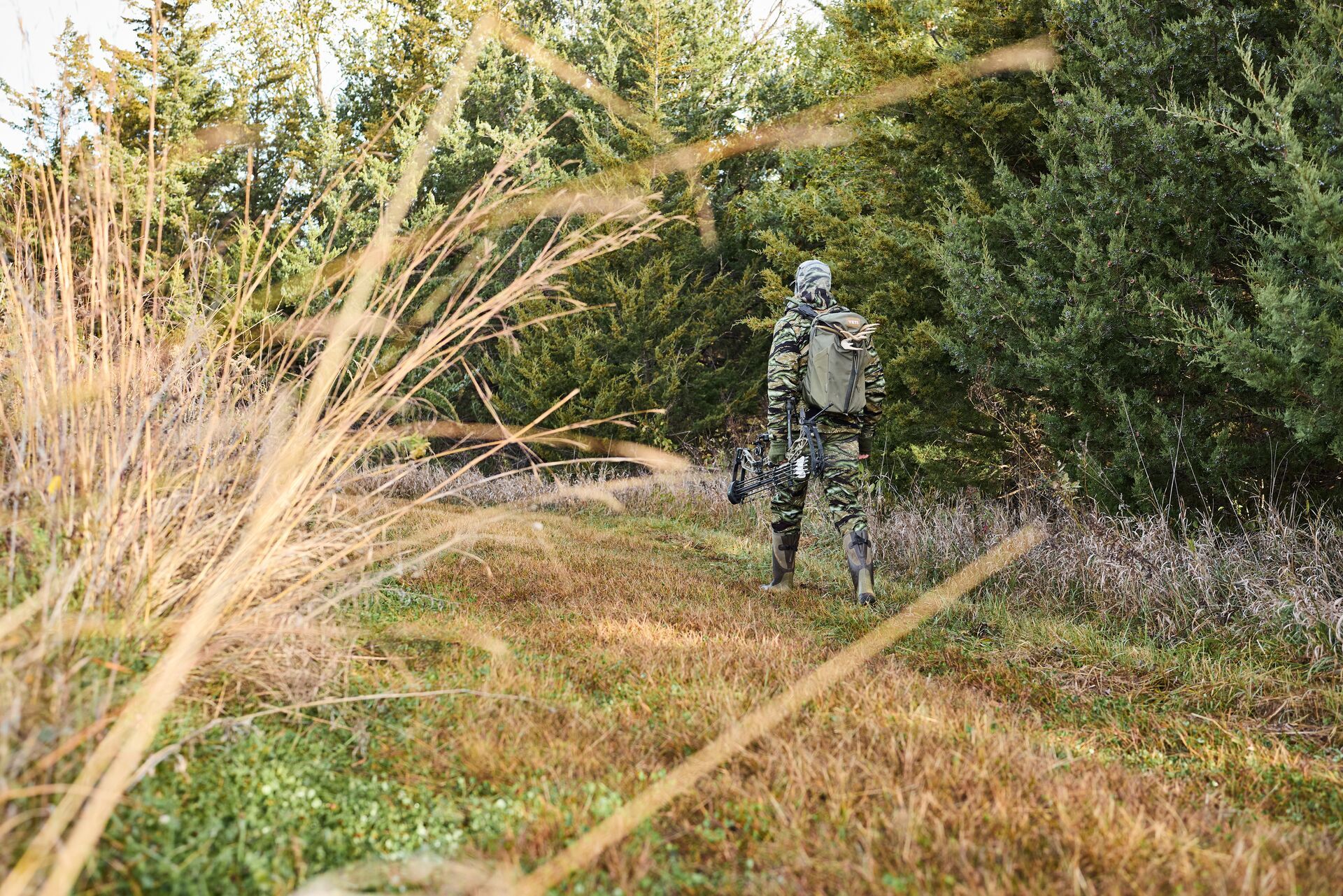
To find public hunting land now, use hunting apps or online maps to locate nearby public access areas, including WMAs, national forests, and BLM land. Focus on easily accessible locations or overlooked parcels, then confirm access points and regulations so you can quickly scout and hunt without needing long-term preparation.
Not all of us have acres upon acres of private hunting land at our fingertips. Finding a place to hunt on public land can be challenging, especially at the last minute.
Yet, many hunters go out into an unknown area every year and harvest a deer without extensive land scouting. If you want to hunt and need to find the best spot — without much time to plan or scout — the following tips can help you find land (and bucks) at the last minute.
How to Find Public Land Now
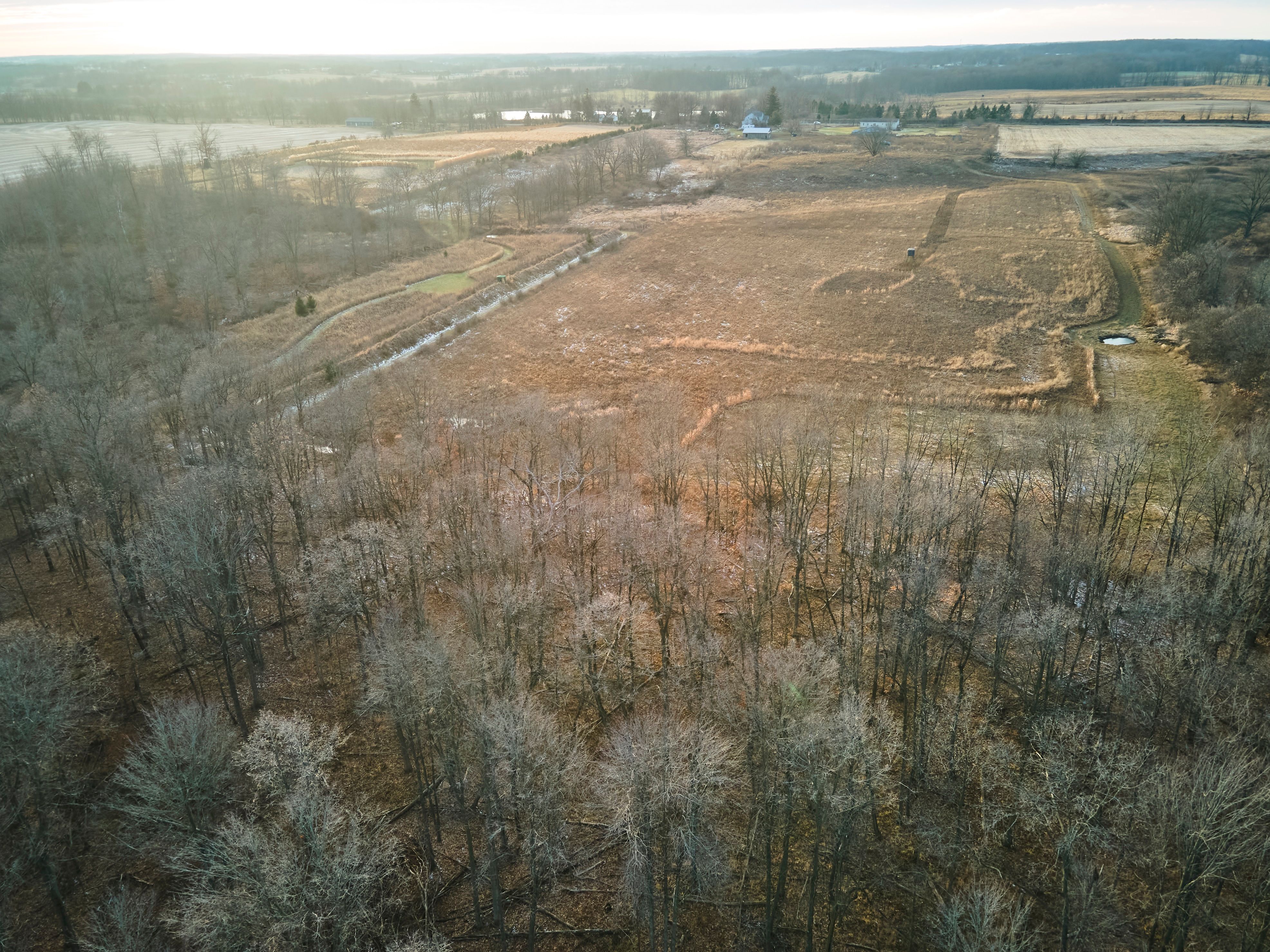
Finding public land to hunt is relatively easy, no matter where you live. More than 50 million acres of state-owned lands are open to deer hunting in whitetail states. HuntWise maps show all types of public land for all 50 states. Public land includes state wildlife management areas, forests, parks, and more.
In addition to these 50 million acres, HuntWise PRO maps also show all federally owned lands, such as national parks, wildlife refuges, military hunting areas, U.S. Fish and Wildlife, BLM (Bureau of Land Management) lands, National Park Service Bureau, the Office of Indian Affairs, and more.
Go Where Other Hunters Aren't
Mature bucks made it to their old age by avoiding hunters. That means you need to go where other hunters aren't to get a chance at them.
Sometimes, that means hiking farther than other hunters will go. Mobile apps like HuntWise make it easy to find public land to hunt, but what should you look for when choosing a spot to sit?
Before you venture into unknown public land, look for one or more of these three things:
- A food source
- Cover
- A travel path. If you are gun hunting, look for a place with excellent visibility, like a hillside or a field edge.
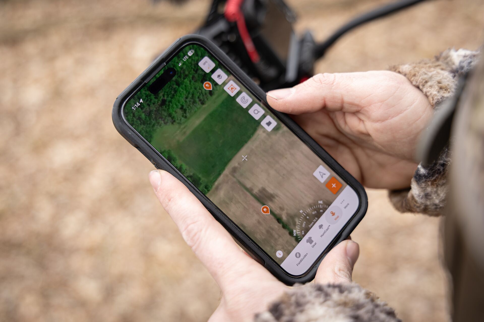
Once you find the public land you want to hunt, scout the area for these land features using satellite imagery in the HuntWise app.
How to Find Private Land to Hunt
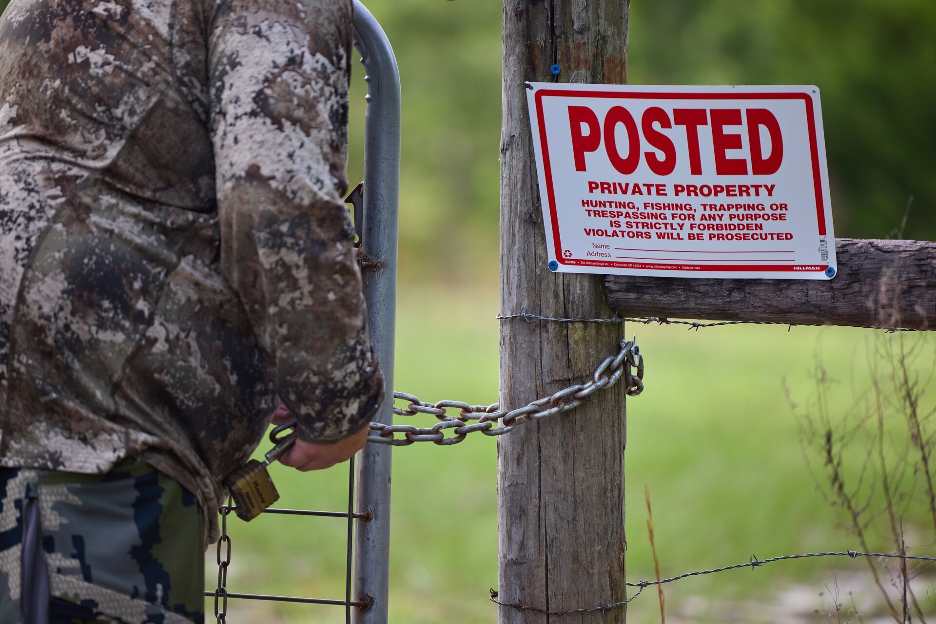
What about private land? Contacting landowners and using the HuntWise hunting app can help you track down private land to hunt.
Contact Private Land Owners
Plenty of private land is not hunted as often as you might think. That means there are areas with very little hunting pressure that you could access, even if you haven't scouted them ahead of time.
You can bet that the less hunting pressure there is, the more deer there will be, including more big bucks. With very few other people in the area to spook the deer, deer aren't wary or looking for you when you go into the field.
You can find landowner boundaries and their contact information (including phone numbers) easily using the mapping features in the HuntWise app.
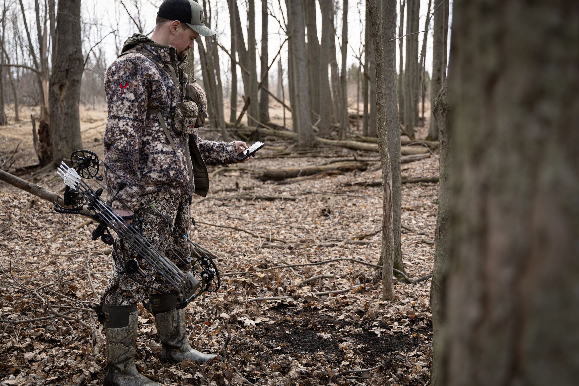
Take advantage of different map layers to view each land area and what it looks like before stepping onto their property. Do they have a swamp or hardwoods that deer may use for cover? Is there a food source on or near their property, like a cornfield? You can see this information in the HuntWise app.
You'll also see how many acres the property has, the landowner's name, address, and phone numbers. You have all the information you need right at your fingertips.
Reach Out Using the Information In the HuntWise App
Then, the next step is up to you. When you ask someone to hunt on their property, establishing trust is the goal.
First, give them a call or knock on their door and ask if anyone is hunting their property. When you meet them in person, be polite and look nice. Tell them who you are, where you're from, and the type of hunting you'd like to do on their property.
Remember to tell them the kind of vehicle you drive and ask them if they have certain restrictions on where you drive on their property. Then, this last bit of advice might really win them over: bring a small gift like cookies or jerky.
Other Hunting Areas to Consider at the Last Minute
Look for local game preserves.
A game preserve, also known as a hunting preserve, is a "large area of land where wild animals live and are hunted in a controlled way for sport." These areas are usually maintained by government-affiliated programs, such as the Department of Natural Resources.
Hunting co-ops are managed by organizations. However, co-ops often require membership or have antler-point restrictions. Be sure to follow all rules when hunting public land, including co-ops.
Learn how to use HuntWise map layers in the short video below!
Strategies for Last-Minute Hunting Success
When hunting public land, your first step toward success is to get in first.
Wake up before the other hunters and set up your spot. This is a good idea for many reasons.
First, it gives you time to settle in before the deer are moving. The second reason is to avoid other hunters. Hunters may see your vehicle parked near where you're hunting and choose to hunt in different locations, or they may push some deer your way.
Consider Ground Blinds
Last-minute hunting usually means you don't have a blind or tree stand set up.
A pop-up ground blind is a great way to get in and set up quickly and easily. Position your blind to shoot to a clearing with the wind in your face.
Ground blinds help conceal your movement. They could be the difference between getting that monster buck or the buck spotting you before you can get your shot off.
Sit At the Base of a Tree
Don't underestimate the old-school method of sitting at the base of a tree. It works. There is something so natural about going out and trying to blend in with your surroundings.
Deer have excellent vision. So, if you go the old-school route, wear good camo and try to be as still as possible.
Enter and Hunt Strategically
Hunters must be strategic when entering the woods.
If you are gun hunting, safety and visibility are vital. Always, always, always wear hunter orange when entering the woods during gun season.
For bowhunting, hunting methods get a little more technical since the goal is to have deer come in close. Hang-on tree stand setups and tree saddles are popular options, but don't forget about using pre-set stands, climbers, ground blinds, spot, and stalk methods, and wearing ghillie suits on the ground. These are all effective if utilized strategically.
Try to blend into the canopy or surrounding cover. A good rule of thumb is to place your stand higher in open hardwoods and lower in swampy wetlands.
Take Advantage of the Wind
Before you head out, make sure you know the wind direction.
You can check Windcast in the HuntWise app to compare your hunting spots by the wind. Then, once you are in the field, be aware of the direction the wind is taking your scent and try to keep the wind blowing in your face.
Use HuntWise to Find Last Minute Hunting Land
Going out and harvesting a deer, whether it is the last minute or not, is an incredible achievement. Utilize your instincts and modern-day resources to increase your chances.
Remember to leave public land and other people's property cleaner than you found it: if you pack it in, pack it out.
HuntWise helps hunters find public and private land to hunt, whether you have time to plan and scout before your hunting trip, or you find yourself with a free day or two to get out in the field without much time to plan. Use the app to find land boundaries, e-scout land to plan your entrance and day, and then follow the tips we've outlined today to have a successful last-minute hunt!
Download HuntWise today and explore Pro and Elite features free for 7 Days!
Previous in Hunting Tips
More Content Like This
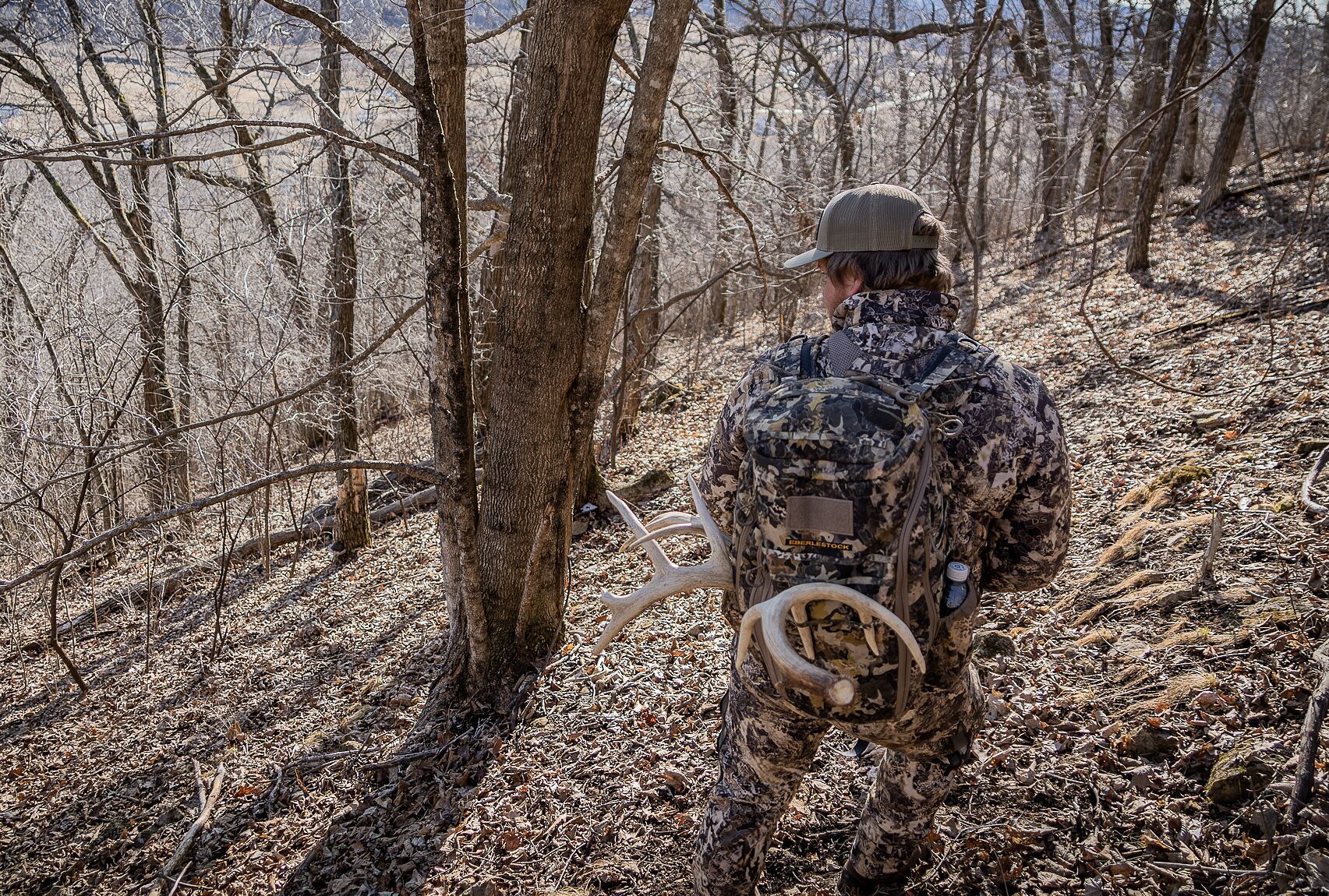
The Year-Round Hunter in March: Scouting for Hunting in the Fall
If you view the chase of whitetail deer as strictly a fall activity, you might go through the season with an unfilled tag. The most successful whitetail hunters know that the chase for whitetails is a yearlong endeavor, with each month providing a un...Read More
Read More
Blizzard Bucks: 7 Late-Season Whitetail Deer Hunting Tips
December is almost over, and it is probably safe to say that the majority of whitetails have hit the brakes. But there's still time to get out and hunt some blizzard bucks before the late-season ends!Read More
Read More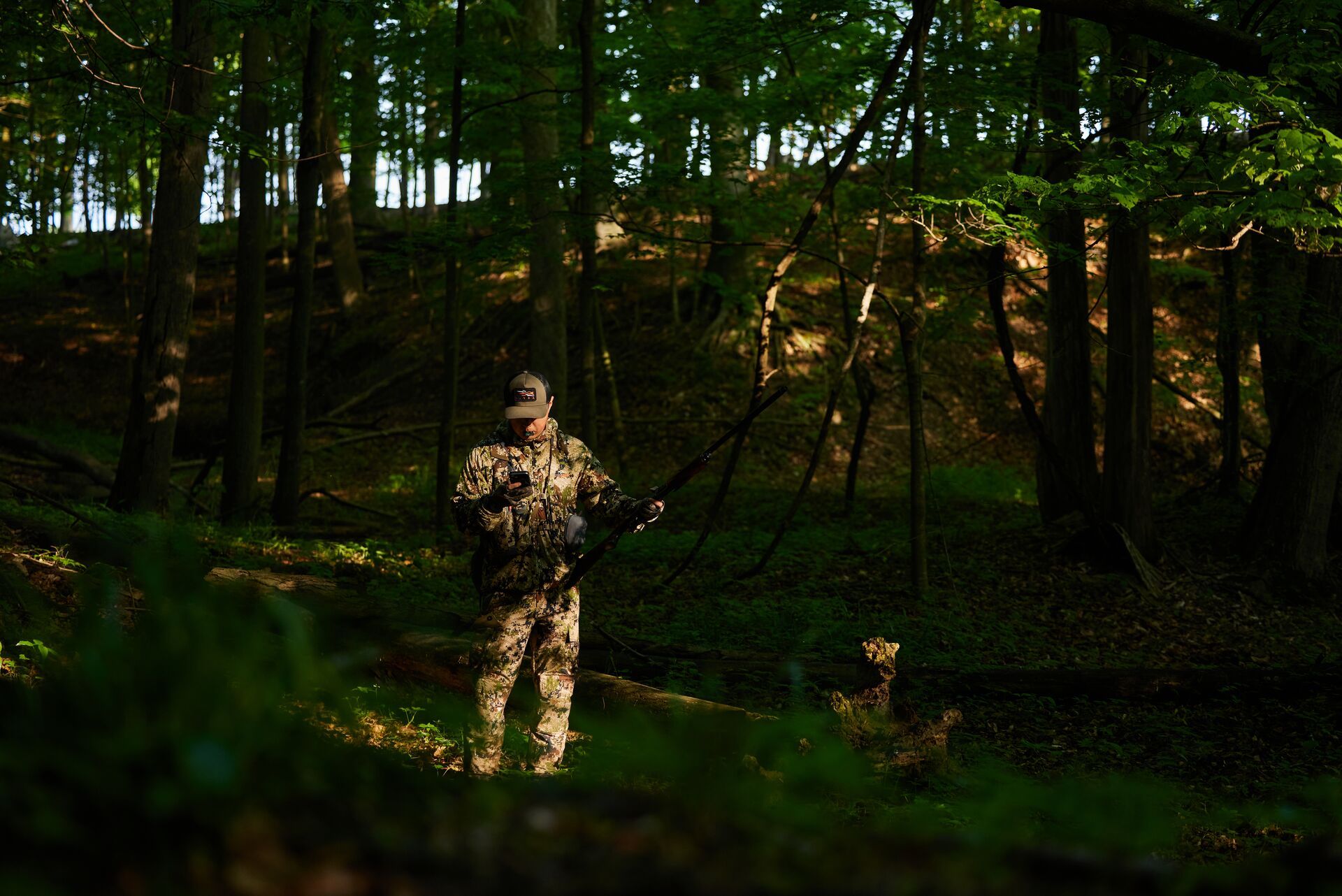
How to Find Public Hunting Land Near You
To find public hunting land, start by identifying federal and state-owned lands like WMAs, BLM land, and national forests. Then use mapping tools to analyze terrain, access points, and hunting pressure. Read More
Read More- Hunting Tips
The Year-Round Hunter in March: Scouting for Hunting in the Fall
If you view the chase of whitetail deer as strictly a fall activity, you might go through the season with an unfilled tag. The most successful whitetail hunters know that the chase for whitetails is a yearlong endeavor, with each month providing a un...Read More
Read More - Hunting Tips
Blizzard Bucks: 7 Late-Season Whitetail Deer Hunting Tips
December is almost over, and it is probably safe to say that the majority of whitetails have hit the brakes. But there's still time to get out and hunt some blizzard bucks before the late-season ends!Read More
Read More - Hunting Tips
How to Find Public Hunting Land Near You
To find public hunting land, start by identifying federal and state-owned lands like WMAs, BLM land, and national forests. Then use mapping tools to analyze terrain, access points, and hunting pressure. Read More
Read More
1 of 3