Field Guide / Hunting Tips
How to Get the Most Out of Your Hunting App





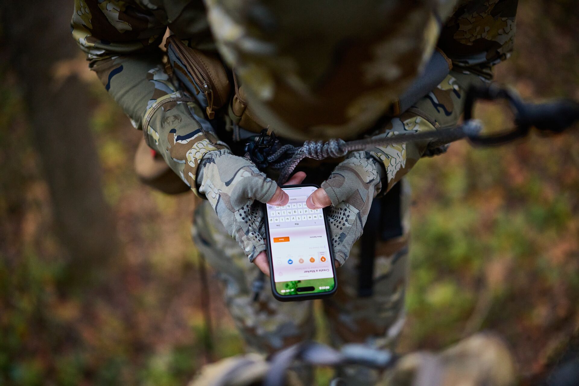
To maximize your hunting app, use desktop web maps to e-scout and drop waypoints on hidden food sources and pinch points. Then, download offline maps, use the map function to navigate to your stand in the dark, and monitor wind and weather forecasts to prepare your daily setups.
Overall, hunting apps have firmly earned their place as essential field tools and pre-season scouting tools. But while most hunters download a hunting app, many fail to unlock its full potential.
Hunting apps are more than just maps, and the right one can help you scout more effectively, track deer movement and game, stay safe, access wind and rutting insights, and much, much more.
In this guide, we’re breaking down how to use a hunting app and the steps to get more out of the technology, from pre-season preparation to in-field decision-making.

Why a Hunting App Is More Than Just a Map
Today’s hunting apps, such as HuntWise, have evolved far beyond GPS capabilities. They aggregate mapping, weather forecasting, animal movement prediction, wind tracking, and community data all in one place.
The best hunting app for deer hunts, for example, can overlay wind direction, terrain, property boundaries, weather forecasts, and habitat data with movement forecasts. With these tools, you can plan stand selection and time your hunt, removing all the guesswork.
For other big and small game hunts (elk, turkey, waterfowl, and others), the same approach can leverage species-specific insights to help hunters adjust their strategies based on behavior, seasonal timing, and other critical data points.
Most successful hunters integrate their app use into the planning, execution, and post-hunt stages, turning it from a basic navigational role into a full-scale hunting support system that informs strategy at every stage.
Start Before the Season: E-Scouting With Your Hunting App
Before heading out into the field, the GPS feature lets you digitally scout your intended hunting zones. This is one of the highest-leverage uses of any hunting app.
You can use satellite and topo layers to uncover terrain features and explore the landscape before lacing up your boots and heading out. High-potential terrain features include:
- Natural corridors such as saddles, ridges, and funnels that concentrate deer movement.
- North-facing slopes and dense timber pockets, which provide cooler temperatures and are hotspots for bedding and feeding in the spring, summer, and early fall.
- South-facing slopes that serve as strong feeding areas, especially near agricultural edges and oak flats.
- Water sources, including creeks, drainage areas, marshes, and rivers, which are consistently high-potential scouting locations and especially important in the early season.
To help uncover these essential landscape features, use the HuntWise Maps feature for topo, satellite contour, and LiDAR views and over 650 additional overlays for deeper exploration.
The LiDAR feature is particularly powerful for uncovering terrain features hidden by dense canopy, such as ditches, terrain breaks, old channels, and old logging roads. By exploring LiDAR insights, you’ll uncover funnel areas and ambush points that traditional mapping and satellite imagery miss.
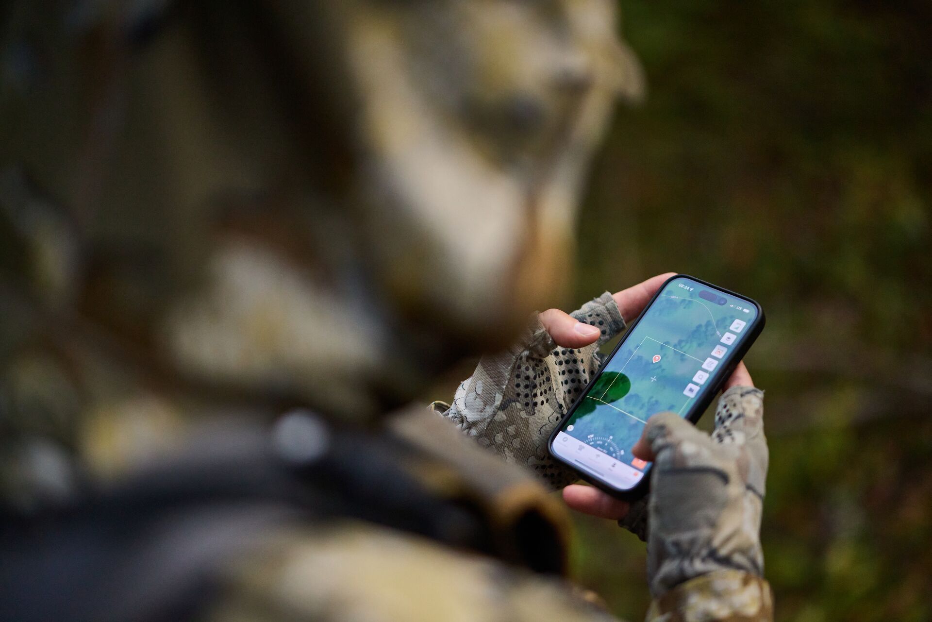
As you e-scout, mark waypoints (pins) such as trailheads, potential scouting ridgelines, corridors, mixed environments, slopes, water, and other high-impact zones to maximize your time in the field.
How to E-Scout a New Unit: A Step-by-Step Workflow
Approaching a new unit should follow the same fundamentals of any strong e-scouting process. Start with the topography and explore essential features in greater depth so you’re ready to go once you set out.
Follow the steps below for a high-impact e-scouting workflow:
- Select your target unit or region in the app.
- Switch to satellite view to get a broad read on habitat type.
- Layer in topo or contour to identify elevation changes, ridges, and drainages.
- Enable LiDAR to reveal hidden terrain structure under tree cover.
- Mark potential bedding areas (north-facing slopes, thick cover).
- Mark potential feeding zones (open south-facing slopes, meadow edges, crop fields).
- Identify travel corridors connecting bed to feed.
- Check property lines to confirm public vs. private land access.
- Drop waypoints and notes on your top spots before your scouting trip.
Once completed, it's always best to get boots on the ground to verify animal presence using tracks and other signs. Look for scrapes, droppings, footprints, browsed vegetation, and other indicators near your marked zones.
How to Use a Hunting App With Map Layers to Hunt Smarter, Not Harder
Not all map layers serve the same purpose. Learning how to use a hunting app with different map features and switch layers is a key skill that can put you ahead of other hunters who may rely on the standard GPS map overviews.
Review Topo Layers
Topo, short for topography, should be your starting point. This overlay shows the physical and natural features of your intended hunting zones, as well as elevation, using contour lines.
This is an essential overlay for your own direction and planning in the field, showing entry and exit routes and scouting locations such as ridges with strong vantage points.
Secondly, topo can show you deer-heavy features such as pinch points, basins, beds, and faces. Learning to read topographic maps is a fundamental skill for all hunters.
You can also overlay the contour, which similarly shows how terrain shapes animal movement and where deer are likely to travel.
Show Satellite Layers
A satellite overlay provides a clear image of the terrain, helping to uncover habitat types, canopy density, and field edges. Satellite imagery provides a clear view of major features, including roads, trails, fields, car parks, and more.
To maximize satellite scouting, overlay the topo to uncover hidden funnels, travel corridors in terrain breaks, and access routes that may be underexposed. Topo over satellite also shows the actual elevation with a stronger visual, which can sometimes be hard to determine on a satellite-only view.
Understand LiDAR Layers
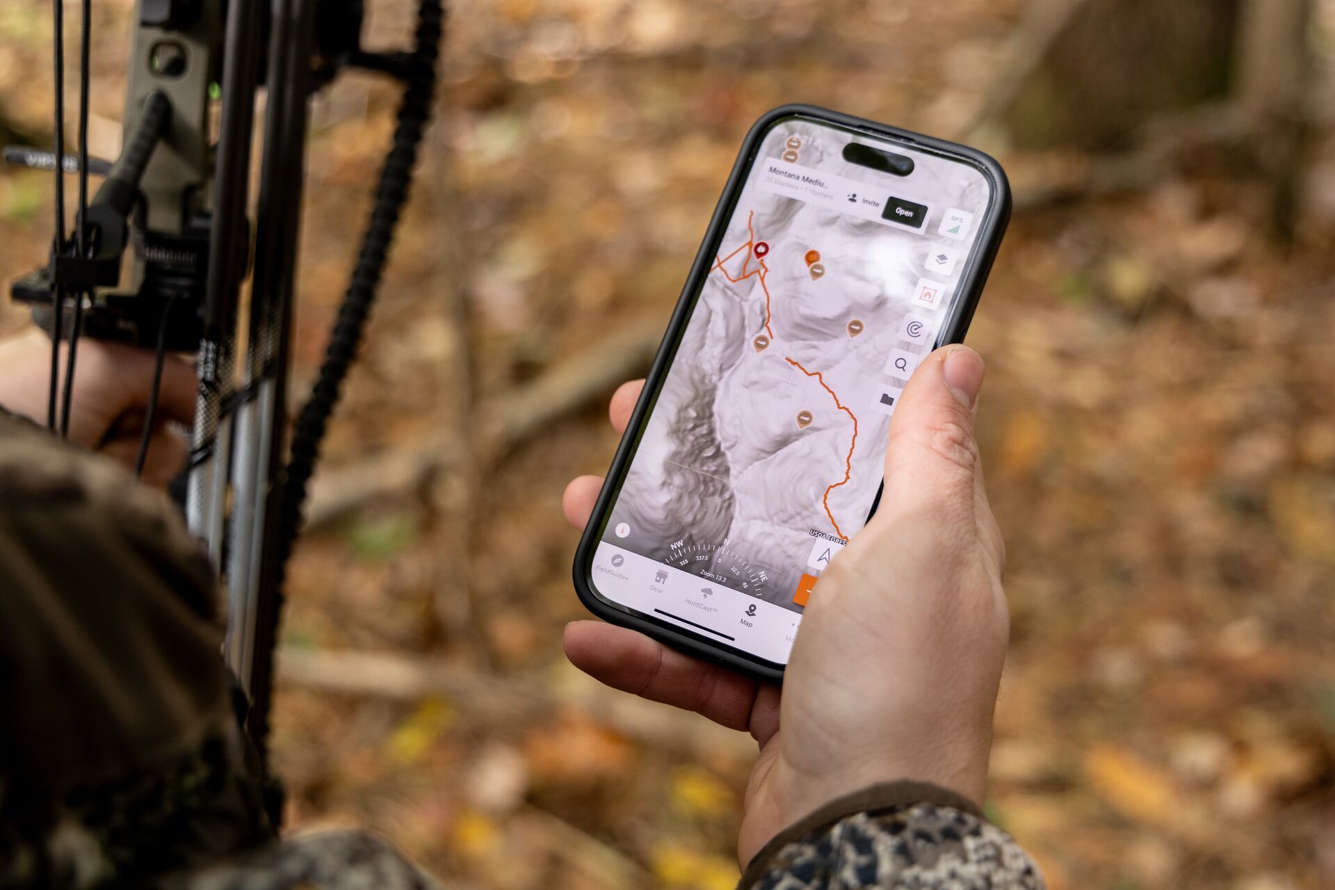
LiDAR, which stands for Light Detection and Ranging, can reveal subtle terrain features such as creek bottoms, ditches, and old logging roads that are often hidden in other mapping layers.
It provides a deeper understanding of terrain structure, making it easier to identify natural funnels and potential ambush points in heavily wooded areas.
Set Property Line Overlays
Property line overlays are essential to ensure you’re hunting legally and not at risk of committing trespassing offenses. Make sure you choose an app like HuntWise, which updates these lines regularly as property lines change.
You’ll also have the option to contact landowners directly from the app to clarify any questions and request private land hunting opportunities.
Download Offline Maps
Finally, download offline maps of your hunting area in advance so your pins and markers remain accessible even without cell service. It can be a good idea to download maps that cover a slightly wider area than your intended hunting area and share them with a hunting buddy.
HuntWise Map Layers and What They Do: Overview
What does each map layer do in the HuntWise hunting app? The chart below gives a quick overview of each layer, what it does, and when to use it.
HuntWise Map Layers (and How to Use Them) | |||
Map Layer | What it Shows | Best Use Case | Most Valuable Season/Scenario |
Topo | Elevation contours, ridgelines, saddles, drainages |
|
|
Satellite | Aerial imagery of terrain, canopy, field edges, and habitat type | Identifying habitat transitions, food sources, and canopy density from above | Pre-season e-scouting; locating food sources heading into early season |
Contour | Detailed land shape and elevation gradient |
|
|
LiDAR | Ground-level terrain data beneath heavy tree cover | Revealing funnel areas, ambush points, and terrain features hidden under dense canopy |
|
Property Lines | Public/private land boundaries, updated regularly |
|
|
Offline Maps | Downloaded maps with custom markers, accessible without cell service | Navigating and referencing waypoints in areas with no signal |
|
Time Your Hunt
So, you’ve done your e-scouting, marked your waypoints, sighted your rifle, and prepared your gear, but how do you know when it’s the right time to head out?
Movement forecasting is one of the most powerful and often underused features in modern hunting apps. The best hunting app for deer, for example, should consider multiple data points to give you a complete picture of your upcoming hunt.
For example, the HuntWise HuntCast feature combines wind, weather, temperature change, moon phase, and barometric pressure data to provide hour-by-hour predictions of deer movement and probability.
You can see these forecasts 14 days in advance, so you can plan your calendar to target peak activity windows and maximize your time in the field. While we’d all prefer to be out hunting much more often, with work and busy schedules, it's important to maximize our time in the field.
You can also set alerts in the app, so you’ll be notified when ideal conditions are met — no need to constantly refresh or manually check before heading out.
| Pro tip: |
| To fully optimize this feature, check HuntCast the night before the hunt, or even early in the morning. Checking can give you time to adjust your stand choice or approach based on the wind forecast and the probability of animal movement. |
As a deer-hunting tool, HuntCast is especially powerful, showing the highest probability in morning and evening windows, particularly around beneficial weather changes such as frontal movements and temperature drops.
This strategy isn’t limited to deer hunts. The app follows similar patterns, such as pressure changes and temperature swings, for elk and other species that change behavior and patterns during these conditions.
Control Your Scent
Scent control is hugely important and often overlooked by new hunters. Deer and many other game animals rely on their sense of smell (which is a lot more powerful than ours) to avoid danger and incoming threats.
Deer quickly associate human scents with danger and will flee before you know it, and if you hunt sooner or later, you’re going to be winded. There are some strategies you can employ using your hunting app to reduce the frequency of this.
The HuntWise WindCast feature provides real-time wind direction and speed overlaid on your map, showing how your scent will travel from any stand location. This gives a clear visual indicator of your chances of being winded, allowing you to reconsider your stand setup and approach.
You’ll access historical wind data and live predictions to know exactly which stand is going to have the least scent impact based on that day’s wind patterns.
As you make your approach, you’ll be able to time your entry and exit, keeping downwind of bedding areas. As a feature, WindCast is especially helpful when hunting multiple stand locations, as you’ll know, in that precise moment, which stand to pull based on real-time wind impacts.
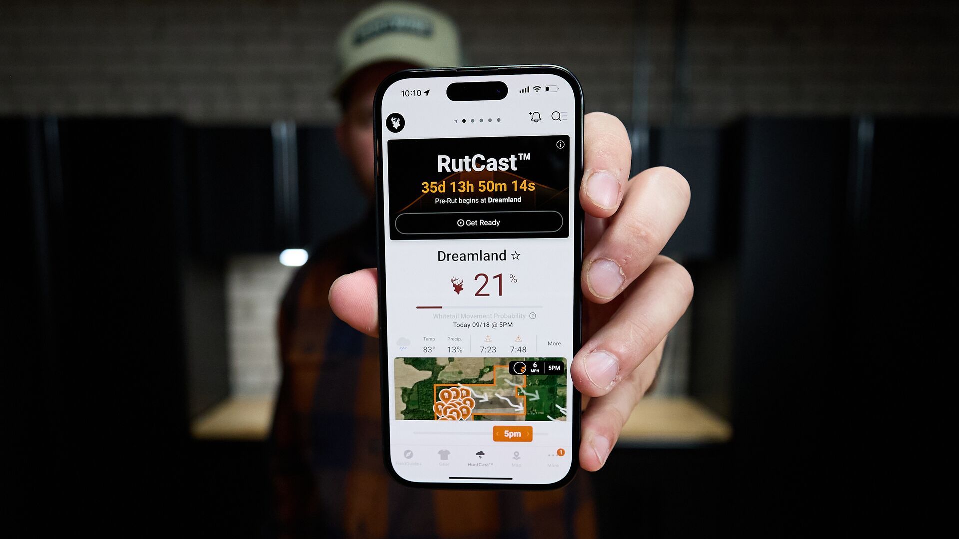
Plan Rut Hunts
Rut hunts are high-stakes and high-energy hunts. Bucks are out more during the day, highly vocal, and more willing to break routine. While rut hunting may seem chaotic at first, it's actually a highly predictable hunting window when you have the right insights and data.
The HuntWise RutCast feature provides hunters with rut timing predictions based on location, meaning you'll have insights on the best days to be in the stand depending on which rut phase (pre, peak, and post) you hunt.
To make the most of it, use the RutCast feature in combination with HuntCast to aggregate peak rut timing and a moving weather front for a high-probability hunt.
While bucks move more during the rut, rain, wind, heat, or cold fronts can affect their movement. By combining features, rather than relying on them in isolation, you'll have a more complete picture.
Get Even More Out of the HuntWise Hunting App: HuntWise Elite and FieldGuide+

To fully leverage your hunting app as a toolset, you’ll need to explore the full tier of features. The HuntWise Elite tier includes access to FieldGuide+, an expansion of the in-app content library full of expert articles, species-specific hunting tips, and tactical guidance.
Hunting is a lifelong pursuit, and the best hunters are those who remain open to learning, regardless of their experience level. FieldGuide+ is useful for both beginners and longtime hunters, offering research-backed guidance on species, regions, and general hunting tips.
It provides in-depth how-tos, such as how to field-dress a deer, how to saddle-hunt like a pro, tutorials, and more. It’s great for hunters who may be looking to target a new species or hunting area.
Build a Season-Long System, Not Just a Single Hunt Plan
Even during the off-season, I find myself scrolling through new land pockets and randomly checking the weather on my app. A hunting app isn’t just for hunting days. When used correctly, it can keep you informed and prepared year-round.
- Pre-seasons, usually summer: This is the perfect time to start e-scouting new units, marking waypoints, and researching historical access. It's also a great time to run trail cams to start building a picture of animal habits in your intended hunting area.
- Early season (September-October): Now’s the time to monitor HuntCast for the right weather windows and finalize stand locations using maps and in-person scouting. It can't hurt to start taking a look at what the wind's doing at this time as well.
- During the rut (October-November): At this point, shift your focus to RutCast and HuntCast and adjust stands based on these daily insights and suggestions. Closely monitor any predicted weather changes, as drops in barometric pressure can trigger increased daytime activity.
- The late-season rollover (November-December): Switch back to a focus on topo and satellite layers to find winter range concentrations and food sources. Game animals such as deer and elk change their elevation to both avoid the cold and seek food, often in valleys, foothills, and agricultural areas. They'll often gather on south-facing slopes for the warmth and reduced snow cover. Stay on top of your HuntCast for cold-front movement spikes, as these can trigger movement.
- Post-season: This is the ultimate time to review your hunts. You can assess waypoints and check them against notes from the hunts, flag spots to revisit, and update your scouting map while the intel is fresh. I’ve found the off-season is a great time to reach out to private landowners. They often get fewer requests at this time, and an early introduction gives you time to build up a relationship. And if you can offer something like invasive species control or assist with a few odd jobs before the season opens again, even better.
Try HuntWise Pro and Elite Features Free for 7 Days
While modern hunting apps offer accurate and multi-layered mapping features for elite scouting and navigation, this is just one component of their value as elite hunting tools.
With HuntWise, you can follow real-time, data-driven hunting insights, such as HuntCast and WindCast, to make informed hunting decisions. When stacked with RutCast and weather forecasting for peak rut sits, it allows you to pinpoint the highest-probability times to be successful out in the field.
HuntWise brings all of these tools together in one app, with insights, strategies, and cutting-edge tools for hunters of all experience levels.
Start your HuntWise free trial today to explore the features covered in this guide (including Pro and Elite features) free during your first week to see how the right hunting app can completely transform your season.
Previous in Hunting Tips
More Content Like This
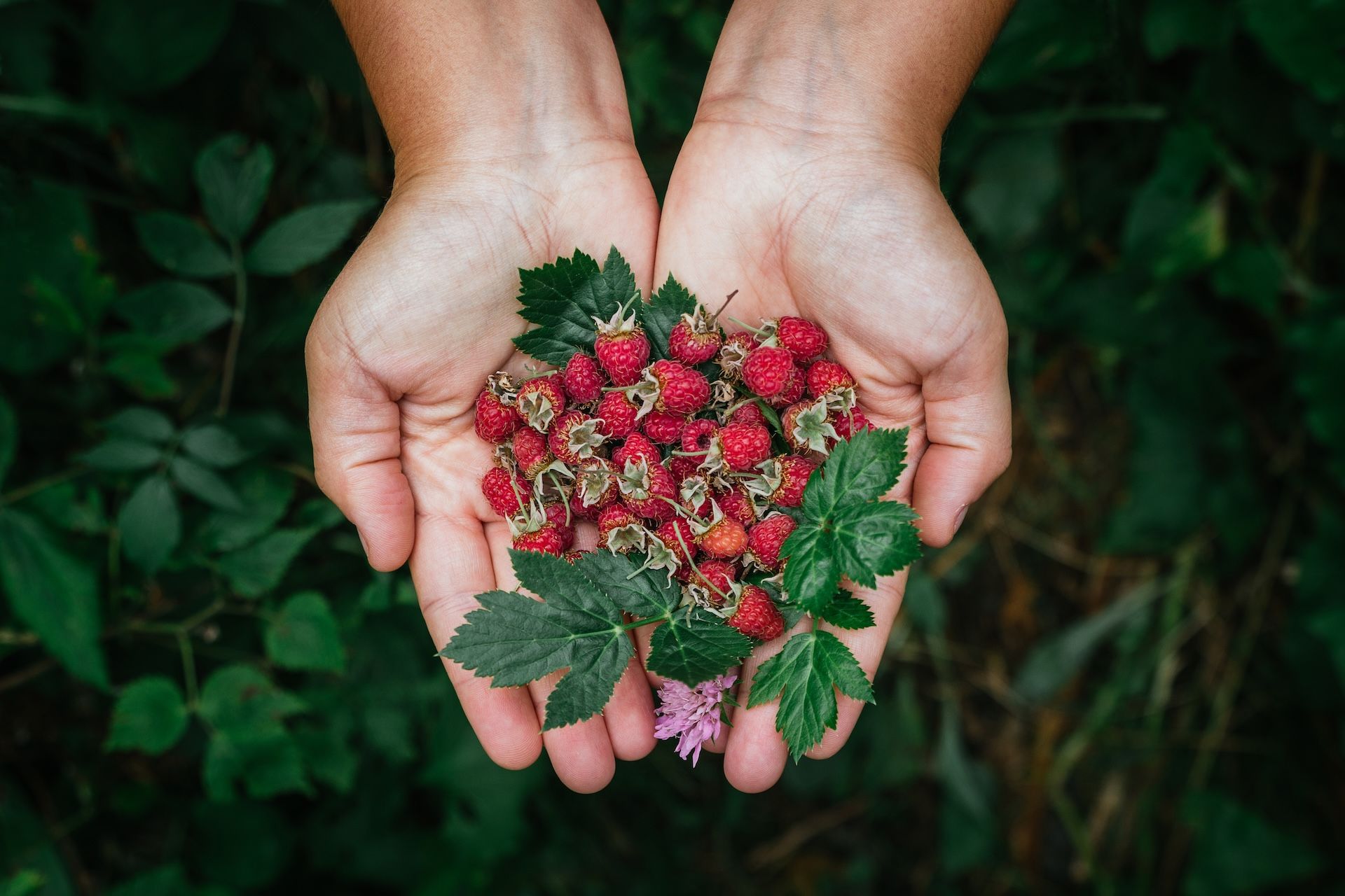
A Guide to Hunting and Foraging for Wild Edibles
With some research, practice, and mentoring from seasoned foragers, you can turn the wildness into your natural supermarket — including while you're hunting or scouting. Read More
Read More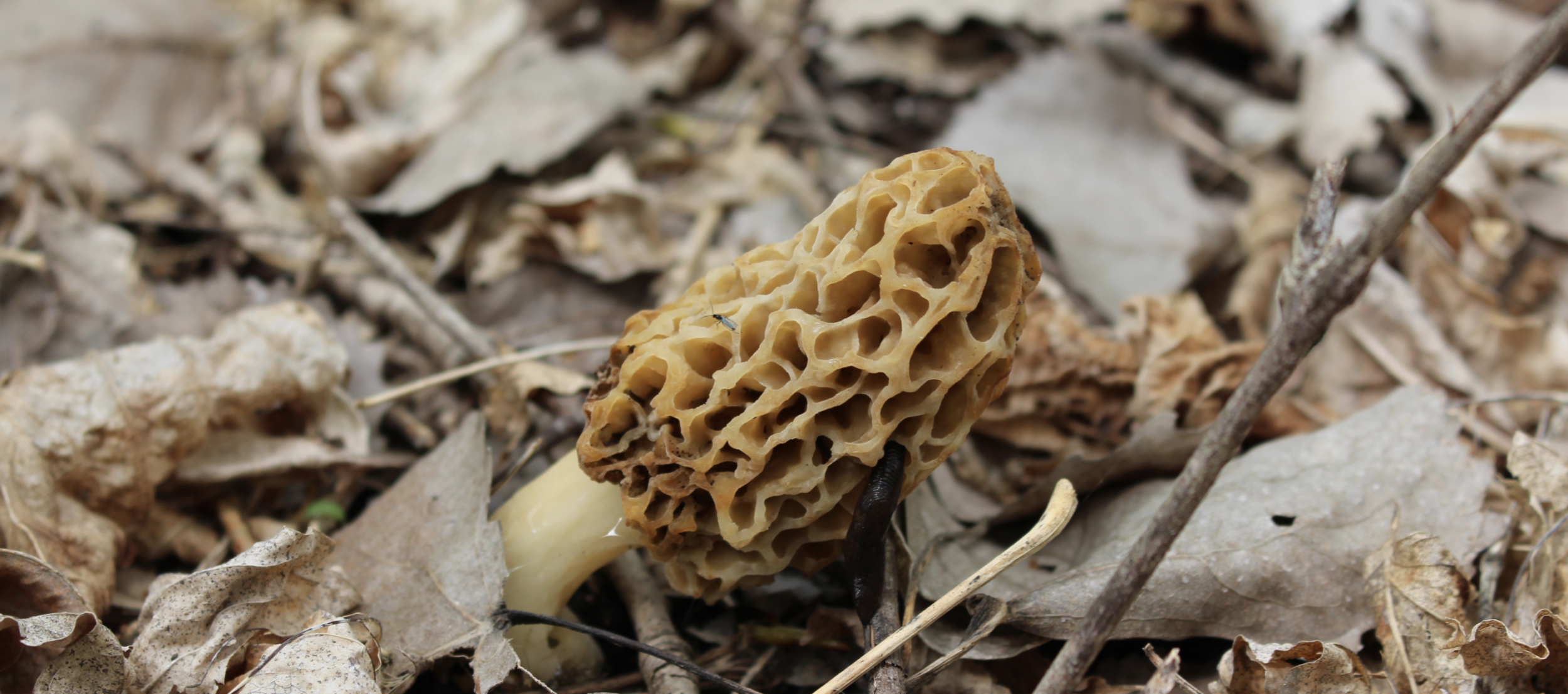
6 Morel Mushroom Hunting Tips and Tricks
Many hunters use the off-season to hunt a different type of game: morel mushrooms. Finding a morel mushroom is like finding a $20 bill in a birthday card from 5 years ago. It's just an awesome find. Read More
Read More
What Is the Difference Between Game and Nongame Species?
Across the world of wildlife, a whole spectrum of big and small critters fall into various categorizations and classifications. For hunters, one of the most important distinctions is between game and nongame species. Read More
Read More- Hunting Tips
A Guide to Hunting and Foraging for Wild Edibles
With some research, practice, and mentoring from seasoned foragers, you can turn the wildness into your natural supermarket — including while you're hunting or scouting. Read More
Read More - Hunting Tips
6 Morel Mushroom Hunting Tips and Tricks
Many hunters use the off-season to hunt a different type of game: morel mushrooms. Finding a morel mushroom is like finding a $20 bill in a birthday card from 5 years ago. It's just an awesome find. Read More
Read More - Hunting Tips
What Is the Difference Between Game and Nongame Species?
Across the world of wildlife, a whole spectrum of big and small critters fall into various categorizations and classifications. For hunters, one of the most important distinctions is between game and nongame species. Read More
Read More
1 of 3